
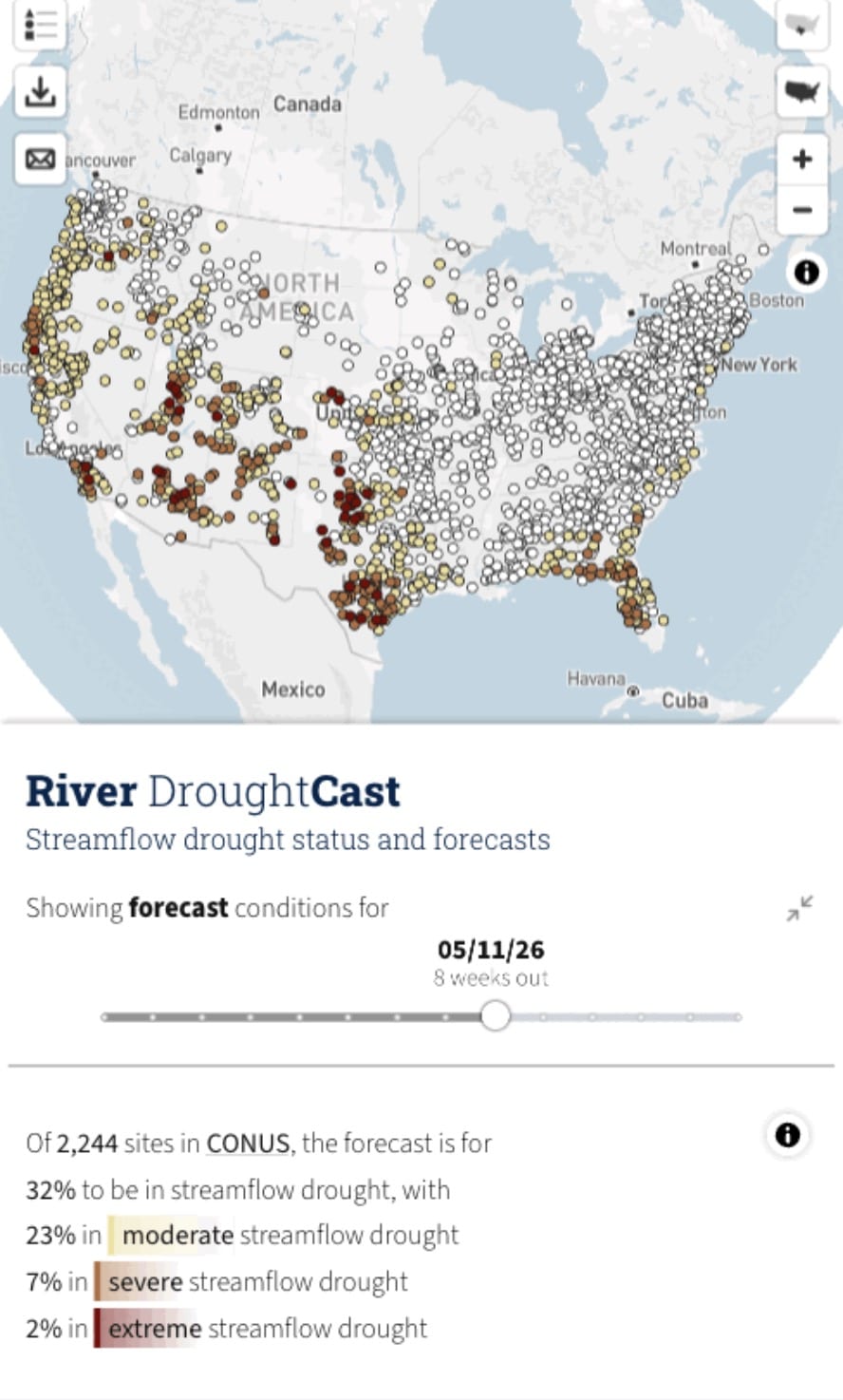
The U.S. Geological Survey has released a new machine learning tool capable of predicting streamflow drought conditions up to 13 weeks in advance, offering water managers, farmers, and recreation operators an unprecedented early warning window.
The River DroughtCast draws on data from more than 3,000 USGS streamgage locations, some carrying over a century of continuous flow records. By feeding that historical depth into machine learning models, the system forecasts when rivers and streams are likely to drop below normal levels for extended periods, a condition that can threaten water availability even after rainfall returns.
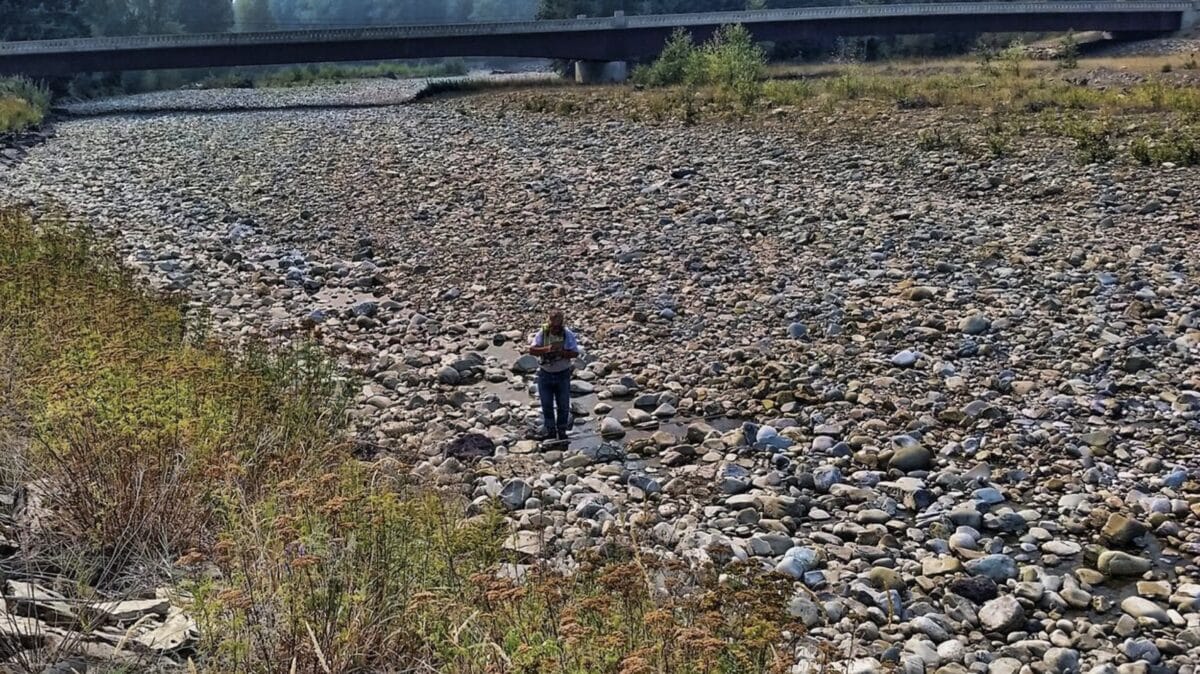
Streamflow drought is distinct from the more familiar meteorological drought. While a lack of rain typically triggers the process, factors like soil moisture, snowpack, and groundwater reserves all shape how dry conditions ultimately translate into reduced river flows, making the phenomenon difficult to anticipate and consequential for water planning.
“The USGS is putting more than a century of streamflow data to work in a completely new way.” – John Hammond, the agency’s project manager for the drought forecasting system.
The tool performs best in its first four to six weeks of projection. During that window, severe or extreme drought conditions are correctly predicted roughly 75 percent of the time. Accuracy falls to approximately 55 percent by week 13. All forecasts come paired with confidence estimates to help users weigh reliability across different timeframes.
The practical applications are broad. Farmers dependent on surface water irrigation can adjust planting schedules. Municipal water managers can get ahead of conservation needs. Outfitters and recreation operators can plan for impacts to fishing and boating.
The USGS says a future version of the tool will expand coverage to areas without existing streamgages and push forecast accuracy further.