
The Great Lakes are easy to underestimate on a map. They are not simply a cluster of big lakes. They are one of the most strategically vital geographic systems on the planet, and most people have no idea. Geography by Geoff broke down 15 incredible facts about North America’s Great Lakes in the video below.
Together, the Great Lakes hold roughly 21% of the world’s entire surface freshwater supply and 84% of North America’s. That volume is enough to submerge the contiguous United States under nearly 10 feet of water. Lake Superior alone holds more than half of that total, making it the largest freshwater lake on Earth by surface area.
The system functions as a slow-motion waterfall, draining west to east from Superior at 600 feet above sea level down through four lakes before plunging over the Niagara Escarpment and emptying into the Atlantic via the St. Lawrence River. None of it existed as we know it 10,000 years ago. The basins were carved by a two-mile-thick glacier retreating at the end of the last ice age.
The Great Lakes have shaped North American history at every turn. The Erie Canal, completed in 1825, slashed cargo transport costs by 95% and made New York City the commercial capital of a continent. Engineers reversed the Chicago River in 1900 to stop waterborne disease from contaminating the city’s drinking supply. The region was a naval theater during the War of 1812.
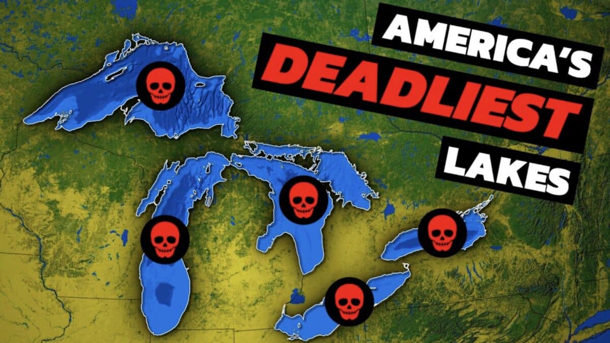
Today, the Great Lakes provide drinking water to more than 30 million people, support a regional economy worth over $6 trillion, and contain an estimated 6,000 to 10,000 shipwrecks on their floors.