
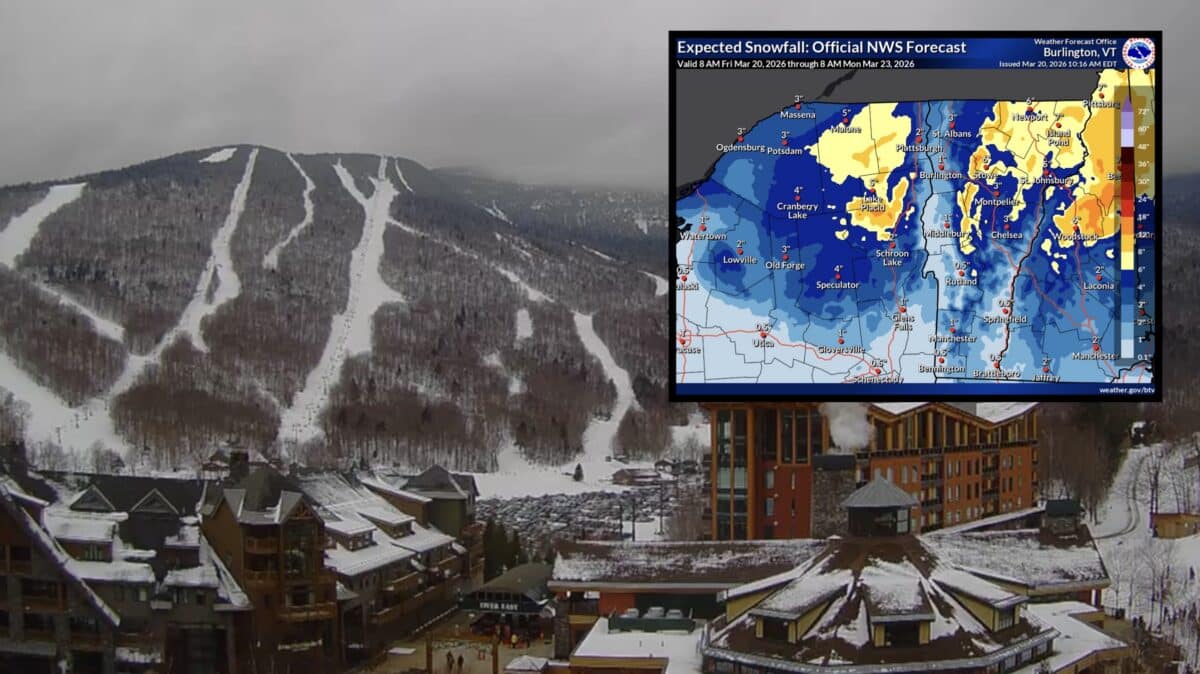
The National Weather Service in Burlington has issued a Winter Weather Advisory covering large portions of northern New York and central, northeast, and northwest Vermont, with snow expected to create hazardous travel conditions through late Friday night.
The National Weather Service Burlington office is maintaining an active advisory across a wide swath of the region. The advisory affects numerous communities on both sides of the border between New York and Vermont, and the timing of the event raises particular concern given the overlap with the Friday evening commute. Travelers heading home after work could encounter deteriorating road conditions as snowfall accumulates throughout the day.
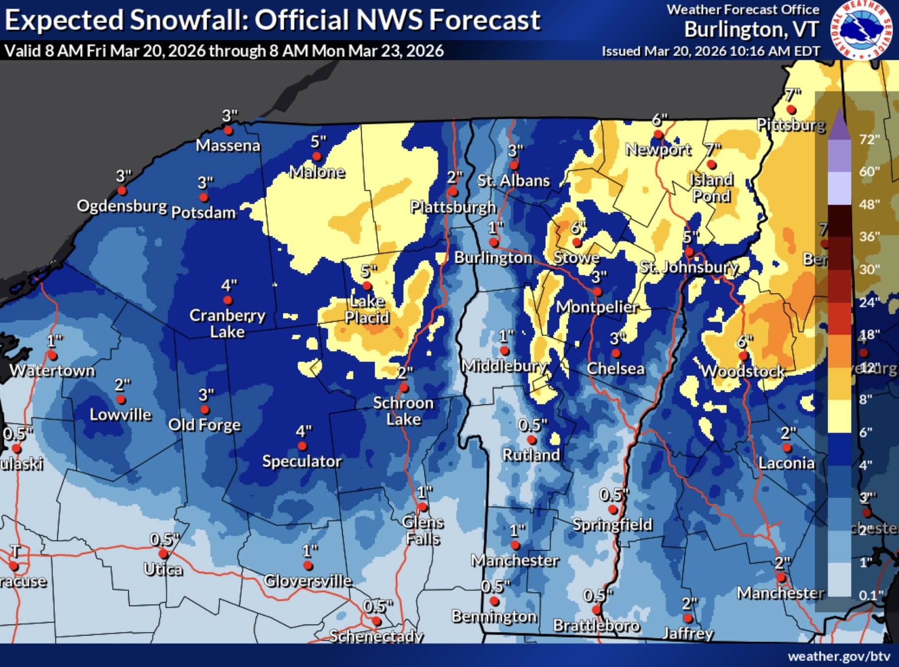
Total snow accumulations of 2 to 4 inches are forecast for the affected areas at lower elevations, with higher terrain above 2,000 feet expected to see between 4 and 6 inches. Locations including Stowe, Montpelier, St. Johnsbury, Lake Placid, Saranac Lake, and Tupper Lake all fall within the advisory area. Other affected communities include Waitsfield, Underhill, Lunenburg, Richford, Hardwick, Richmond, Enosburg Falls, Newport, Derby, Ogdensburg, Star Lake, Potsdam, Massena, South Colton, Fort Covington, Dannemora, Bristol, Newcomb, Ellenburg, Norfolk, Johnson, Malone, Gouverneur, Ripon, and Island Pond.
The advisory runs from 8 AM Friday morning through 11 PM EDT Friday evening. Slippery road conditions are the primary concern throughout the duration of the event.
The NWS is urging drivers to slow down and use caution while traveling. For the latest on road conditions in Vermont, visit newengland511.org. For New York road conditions, visit 511ny.org.