
After days of temperatures running 20 to 40 degrees above normal across much of the country, a major pattern flip is incoming. According to Direct Weather, a multi-day severe weather outbreak is set to unfold Tuesday through Wednesday across a huge swath of the Central and Eastern U.S., followed by one of the most dramatic cold swings of the season, a potential 60-degree temperature crash in under 24 hours for some areas. And yes, snowfall is on the table for parts of the country that have been sweating through a premature summer.
The Good: The warmth has been incredible while it lasted and the cold on the back end is the real deal, meaning the West and Northern Rockies continue stacking serious snowpack.
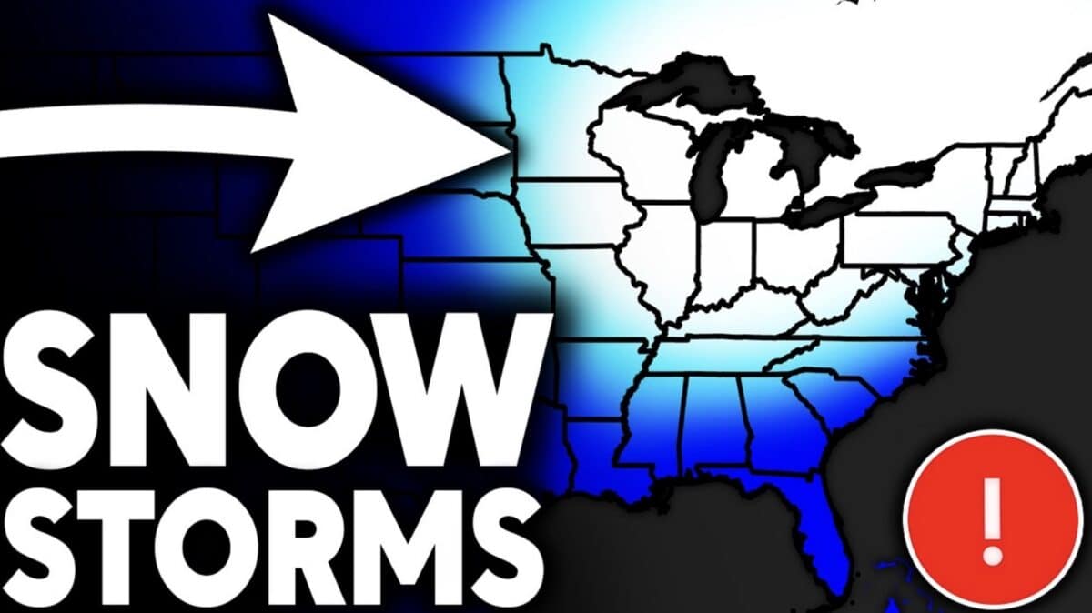
The Bad: The severe weather threat is significant and widespread on March 10th–11th. The arctic air hits fast and hard, and the snowfall potential for the Midwest, Great Lakes, and even the Mid-Atlantic introduces real travel impacts late this week into the weekend.
The Severe Weather Threat: Tuesday March 10th – Wednesday March 11th
This is the most immediate headline. The Storm Prediction Center has already issued an Enhanced Risk (Level 3) for parts of Iowa, Missouri, and Illinois for Tuesday March 10, with a very large Slight Risk stretching from Texas all the way up to Michigan.
States in the crosshairs for Tuesday:
- Texas, Oklahoma, Kansas
- Missouri, Iowa, Illinois, Indiana
- Tennessee, Arkansas, Kentucky, Alabama
- Isolated activity possible into Ohio and Michigan
Overnight into Wednesday the 11th, the threat shifts eastward. The SPC’s extended outlook shows a 15% severe weather probability (equivalent to at least a Slight Risk) covering Texas, Arkansas, and Louisiana all the way up through Ohio, West Virginia, and Pennsylvania. Wednesday could be nearly as active as Tuesday.
SPC outlooks run from 8am to 8am Eastern, so Tuesday’s outlook includes all of Tuesday night into early Wednesday morning.
The Arctic Flip: Thursday March 12th
This is where things get wild. A powerful cold front drops through on Thursday, and the temperature crash on either side of it may be one of the most dramatic single-day swings of the entire season. Areas like southeastern Virginia could go from 20–30 degrees above normal on Wednesday to 20–30 degrees below normal by Thursday afternoon. That’s a potential 60-degree temperature swing in under 24 hours.
Some things to watch with this front:
- Snowfall on the back end is likely – cold air slamming into a very warm, moisture-rich environment
- Accumulation will be tricky: the ground has been warm, there’s been recent rainfall, and the snowfall window is brief
- The Thursday evening commute could be messy for parts of the Midwest
- A Clipper system is developing for Montana and the Dakotas that could amplify the cold push southward
The Extended Pattern: Snowfall Rounds Through the Weekend and Beyond
Once the arctic air digs in, it won’t just leave quietly. Models are hinting at a series of clipper systems and storm threats rolling through the Midwest, Great Lakes, Ohio Valley, and even the Northeast:
- Friday March 13th: A more significant snow system possible across the Midwest, Great Lakes, and parts of the Northern Mid-Atlantic
- Sunday March 15th: A potentially major low developing near Illinois, targeting the Midwest, Great Lakes, and portions of the Northeast
- March 16th-17th: Another round of clipper energy, with at least one system potentially trying to develop into a Nor’easter off the Mid-Atlantic coast (10+ days out, take with a grain of salt)
The European model shows substantial multi-foot totals for the Pacific Northwest, Northern Rockies, Northern Plains, and upper Midwest. The Great Lakes also see significant accumulation in this scenario. The Mid-Atlantic and Northeast are showing elevated totals as well. Nothing is certain, but it’s worth watching given that it’s still early March.
The GFS is even more aggressive and notably is showing snowfall reaching into the Carolinas and southern Mid-Atlantic in the 9-10 day range. That model has had a credibility problem this winter, but it can’t be dismissed entirely.