
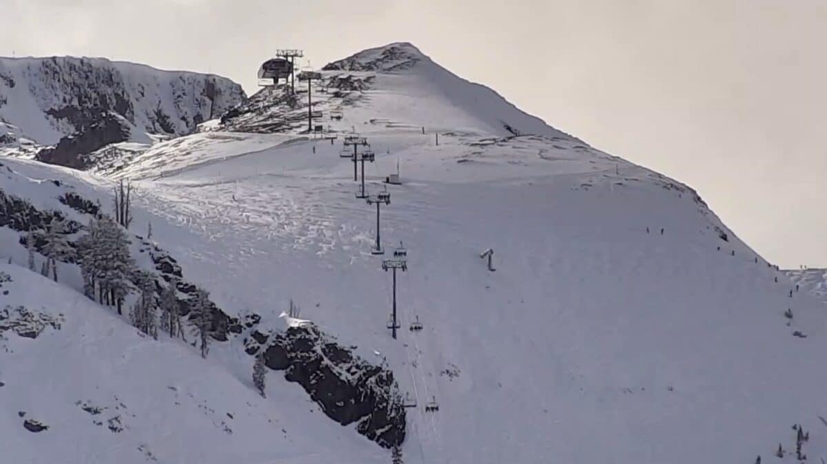
Palisades Tahoe meteorologist Bryan Allegretto is looking at a slow-moving weather system will bring snow to the Sierra Nevada starting Monday, with snowfall rates increasing through the afternoon and evening hours.
Storm Timeline
The action begins Monday as southerly flow pushes precipitation into the region. A colder storm drops in from the northwest on Tuesday, increasing snowfall rates with westerly flow and frigid temperatures. Snow levels will drop near the base Monday morning, falling to around 5,000 feet by Monday evening and near 4,000 feet Monday night into Tuesday.
By early Wednesday morning, the forecast is looking toward some pretty impressive 2-day storm totals, including 22-30 inches at the base, 28-35 inches mid-mountain, and 32-40 inches at the upper mountain.
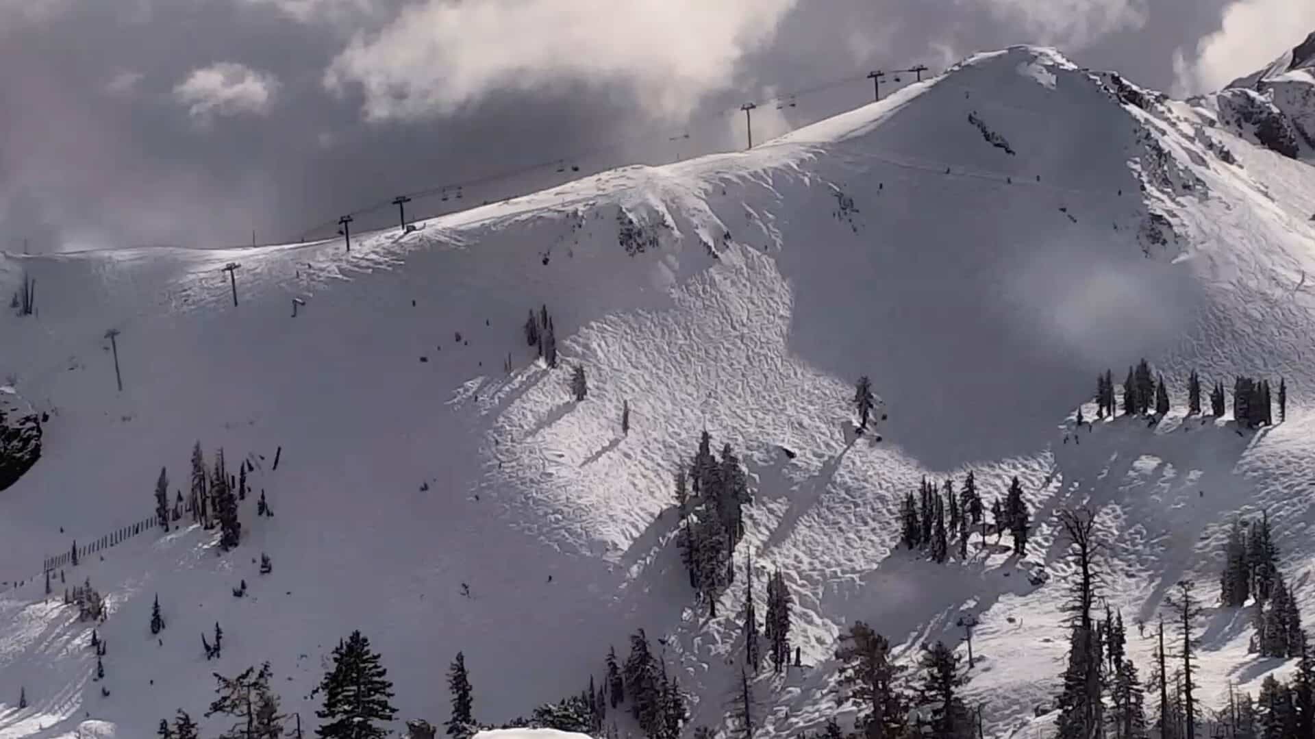
Ridgetop winds will be strongest Monday afternoon through Tuesday, with gusts reaching 80+ mph. These extreme conditions will likely affect upper mountain lift operations during this period.
Temperatures will be cold, with highs in the 30s and 20s for lower elevations at Palisades Tahoe on Monday, dropping into the 20s and teens for the highest elevations Tuesday.
The snow isn’t expected to stop there. Additional storms are forecast for Wednesday through Thursday, with the potential for more systems Sunday, February 22nd through Tuesday, February 24th. The pattern should keep snow levels low and snow ratios high throughout the extended period.
Thursday could offer the best conditions at Palisades as accumulations pile up and winds decrease, making it an ideal powder day for those who can navigate the fresh snow.