
The National Weather Service has issued Winter Weather Advisories for Colorado’s central and northern mountain ranges, with snow expected beginning Wednesday morning and continuing into Thursday. Multiple advisories are in effect across Colorado’s ski country, targeting areas from the northern Front Range through Summit County and extending west to the Gore and Elk Mountains. Snow accumulations of 4 to 15 inches are forecast depending on location and elevation.

Northern Front Range: Up to 15 Inches
The heaviest snowfall is expected across the northern Front Range mountains, including Rocky Mountain National Park and the Medicine Bow Range. The National Weather Service forecasts between 4 and 10 inches, with higher elevations potentially seeing up to 15 inches through Thursday morning.
The advisory for this region remains in effect until 11 AM MST Thursday and includes Cameron Pass, Willow Creek Pass, and the Rabbit Ears Range.
Summit County and Indian Peaks: 4 to 10 Inches
Summit County’s mountains, the Mosquito Range, and Indian Peaks are under a Winter Weather Advisory until 11 AM Thursday. Total accumulations of 4 to 10 inches are expected, with winds gusting as high as 40 mph creating challenging conditions.
Key mountain passes including Berthoud Pass, Eisenhower Tunnel, and areas around Breckenridge and Winter Park should see steady snowfall beginning Wednesday morning.
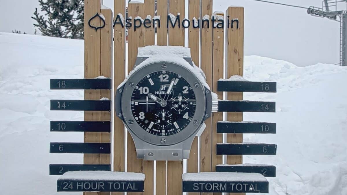
Western Slope Mountains: 6 to 10 Inches
Colorado’s western slope will also see significant snowfall, with 6 to 10 inches expected across the Flat Tops, Gore and Elk Mountains, Grand and Battlement Mesas, and West Elk and Sawatch Mountains.
This advisory runs from 6 AM Wednesday through noon Thursday and includes popular destinations such as Aspen, Snowmass, Vail, Crested Butte, and Monarch Pass.
Travel Impacts
The National Weather Service warns that travel could be very difficult during Wednesday’s morning and evening commutes, as well as Thursday morning. Drivers should slow down and use caution while traveling through mountain passes and ski resort access roads.