

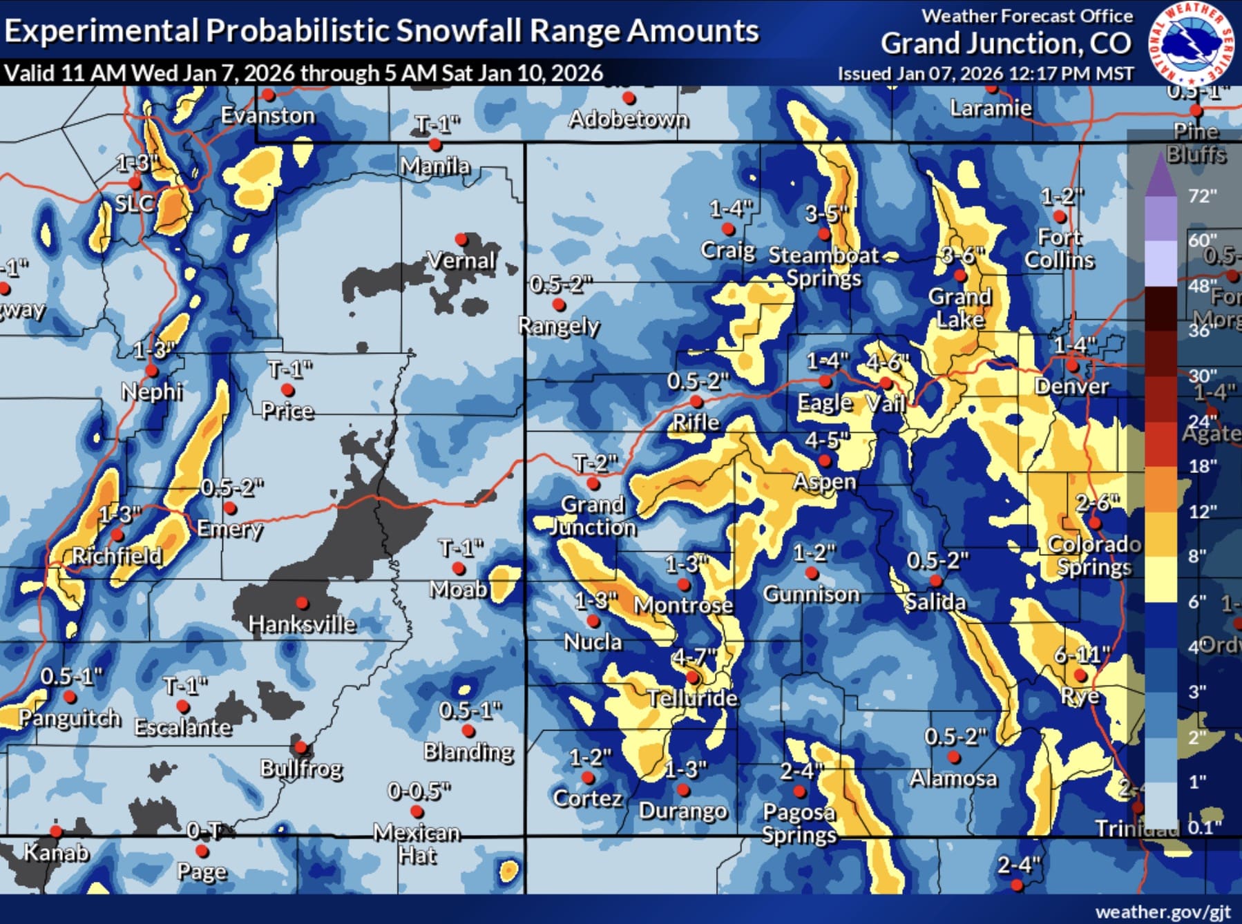
Utah and Colorado mountains are set to see a potentially significant winter storm that could deliver up to 12 inches of snow at several ski areas through Friday. The National Weather Service offices in Salt Lake City and Grand Junction have issued Winter Weather Advisories for multiple mountain areas. The storm is expected to begin this evening and continue through Thursday night in Utah, with Colorado mountains seeing snow through Friday morning.
Winter Weather Advisories In Utah And Colorado
Areas in the Wasatch Mountains south of I-80 could see between 6 and 12 inches of total accumulation, with the upper Cottonwoods potentially receiving even higher amounts. Park City faces a Winter Weather Advisory with anticipated accumulations of 1 to 4 inches with locally higher amounts in some areas. These Winter Weather Advisories run until 11pm MST on Thursday. Brian Head in Utah’s Southern Mountains is under advisory from 5am to 11pm MST Thursday, with 4 to 8 inches of snow possible.
Meanwhile in Colorado, Crested Butte in the West Elk and Sawatch Mountains could see between 3 and 12 inches above 8,000 feet, with winds gusting as high as 40 mph. The advisory runs from 5 pm this afternoon through 5am MST Friday. Monarch Pass and the Uncompahgre Plateau are also under the same advisory with similar accumulation expectations.
The NWS warns that winter driving conditions are expected across all mountain zones, with hazardous conditions impacting Wednesday evening and Thursday morning commutes.