
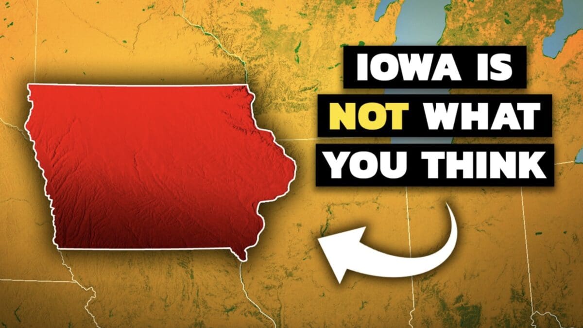
Iowa is often dismissed as just another Midwestern state, but it holds a wealth of geographic and historical significance that makes it far more than a “flyover” region. It’s uniquely framed by two major rivers, the Mississippi to the east and the Missouri to the west, making it the only U.S. state with such natural boundaries, and there are plenty more fascinating facts about its landscape. Geography by Geoff took a look at some of the most interesting details.
Its central position in the 1803 Louisiana Purchase placed Iowa at the core of America’s expansion, with the Lewis and Clark expedition charting paths along its borders. The state also played a pivotal role in the transcontinental railroad, with Council Bluffs chosen as the starting point in 1863, transforming it into a bustling hub.
Iowa’s farming success owes thanks to its fertile mollisols, a deep, nutrient-packed soil formed by ancient prairies and glacial deposits. This soil supports an agricultural powerhouse that outproduces countries like Canada in corn and leads the U.S. in pork and egg production. Along its western edge, Iowa hosts the rare Loess Hills, a wind-sculpted landscape of silt dunes found only here and in China, fostering unique ecosystems with plants like yucca.
In the northeast, the Driftless Area escaped the last glaciers, resulting in dramatic bluffs, forested valleys, and diverse habitats perfect for activities like trout fishing. Iowa’s terrain isn’t uniformly flat. While the north-central Des Moines Lobe was leveled by recent glaciers, the older southern regions feature rolling hills carved by rivers over millennia, showcasing a dynamic landscape shaped by ancient ice and water.