As the days grow shorter and pumpkin spice lattes start popping up everywhere, it’s time to turn our attention to what winter has in store for Northern California. The National Weather Service (NWS) Bay Area released its winter outlook on October 5th, 2025, offering insights into the precipitation and temperature patterns we can expect from October 2025 through March 2026.
A La Niña Winter: Variable Snowfall Ahead
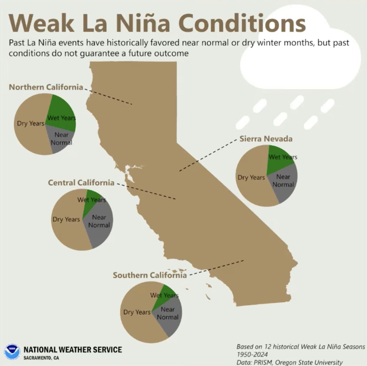
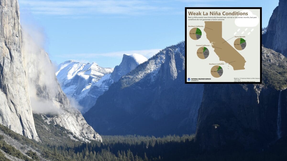
The NWS Bay Area outlook, presented by meteorologist Brian Garcia, highlights a weak La Niña forming early this winter, potentially transitioning to neutral conditions by January or February. La Niña typically brings wetter and cooler conditions to the Pacific Northwest, while Southern California often sees drier weather. Northern California, including the Sierra Nevada, sits in a transitional zone, meaning snowfall could swing either way.
Last winter, areas north of Interstate 80 (I-80), like much of the Tahoe region, saw at least 100% of average annual precipitation, delivering solid snowpack for resorts like Palisades Tahoe and Northstar. South of I-80, it was a drier story. This year’s forecast suggests a mixed bag. Early in the season (October–November), Northern California has equal chances for precipitation, with a hint of above-normal snowfall possible as wetter systems creep south from the Northwest. This could mean a decent start for resorts, with early snow stacking up on higher-elevation runs.
However, the core wet months (December–February) look less promising, with a higher probability of below-normal precipitation creeping into the Bay Area and potentially the Sierra. This could translate to fewer powder days during peak ski season, with resorts relying more on snowmaking and grooming to keep runs in shape. By March, the outlook shifts to equal chances for precipitation, and a fading La Niña could open the door for late-season storms, potentially extending the season for those chasing spring corn snow.

Temperature Trends: Mild with Cold Snaps
Temperature-wise, Northern California is in for a warmer-than-average winter, especially early on (October–December), with a higher probability of above-normal temperatures across the region. This could mean wetter snow or even rain at lower elevations, like Tahoe’s lake level (~6,200 feet), though higher slopes (8,000–10,000 feet) should stay cold enough for quality snow. The NWS emphasizes that cold snaps will still hit, ensuring periods of prime snowmaking conditions and preserving snowpack on the mountains.
As winter progresses (January–March), temperatures shift to equal chances of being above, below, or near normal. This suggests typical Sierra cold will return at times, especially during those crucial mid-winter weeks when skiers crave deep powder and crisp mornings. These cold snaps will be key for maintaining snow quality, even if overall snowfall leans below average.
What It Means for Skiers and Resorts
For Northern California’s ski community, this forecast paints a picture of a variable season with ups and downs:
- Early Season (November–December): A fair shot at early snow could get resorts open on schedule, with solid base-building at higher elevations. Watch for wetter snow at lower resorts, but cold snaps should help snowmaking efforts.
- Peak Season (January–February): Below-normal precipitation could mean leaner snowpack, potentially leading to icier patches or thinner coverage on less-groomed terrain. Resorts with robust snowmaking will likely fare better, but backcountry skiers might need to hunt for fresh stashes after storms.
- Late Season (March): Equal precipitation chances and a weakening La Niña signal could bring late storms, offering a lifeline for spring skiing. Resorts at higher elevations could see the best conditions if March delivers.

