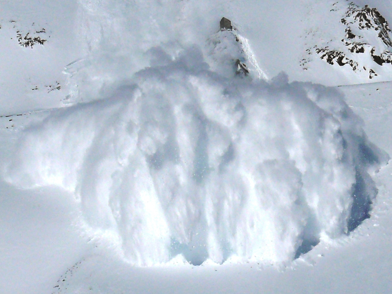
Amid the forecast for a huge dump in the Colorado, an avalanche watch has been issued for all mountainous zones in the state with the exception of the Sangre De Cristo Range.
That does not mean no danger exists in the Sangre De Cristo zone.
Currently, avalanche danger is sitting at moderate but as the day progresses and snow begins to rapidly accumulate and load slopes, experts are predicting the avalanche danger to rise dramatically.
Just how dramatically?
Significant snowfall and loading could raise the danger to High by Tuesday afternoon!
Find specific zone forecasts here: Colorado Avalanche Information Center
CAIC Avalanche Watch
Issued: 1:00 pm Monday MST
Expires: 3:00 pm Tuesday MST
A powerful winter storm will bring widespread snowfall and strong westerly winds to Colorado beginning Monday night. If we get the upper end of the forecast snowfall, the wind and snow could push the avalanche danger to HIGH (Level 4) by Tuesday afternoon. Large and dangerous natural and human-triggered avalanches will be likely in all steep terrain until at least Wednesday.
Don’t Forget To Support CAIC Here: Become A Donor


