
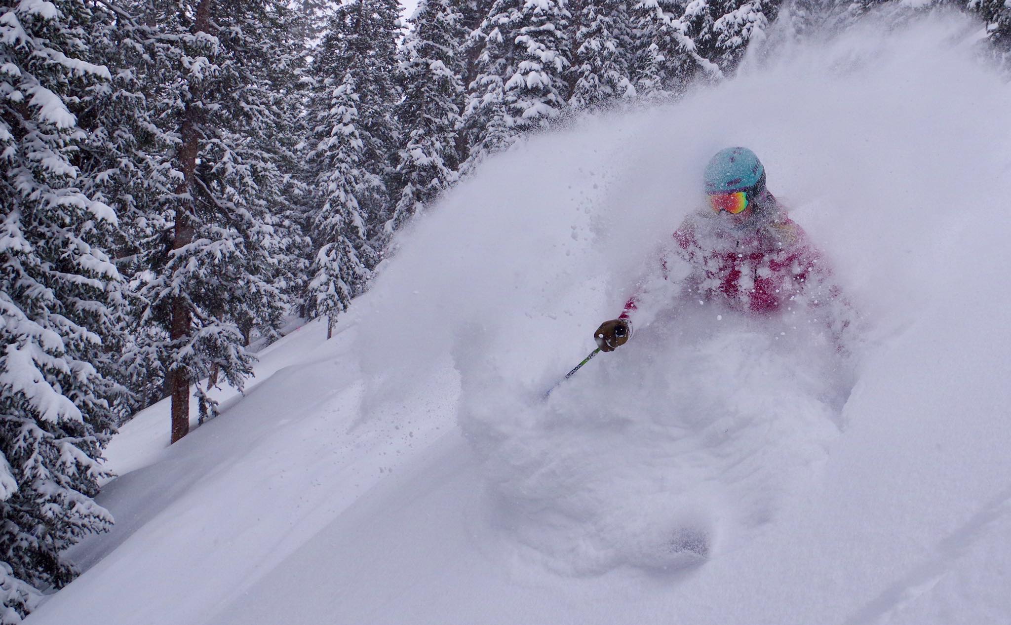

Turns out Ullr loves spring skiing at Loveland Ski Area and Arapahoe Basin. At least it appears that way as a strong storm cycle is set to deliver a week’s worth of snow to the upper elevations of central Colorado by Sunday morning reports NOAA.
Related: 2 Feet Of Freshies On Tap For The Northern Rockies/Cascades!
All that new snow should provide prime-time steep skiing coverage for Colorado’s 13’ers and 14’ers in addition to the two front range ski areas still operating. Loveland is currently scheduled to close on May 7th.
“The best chance for accumulating snow will be over the Colorado mountains tonight through much of Tuesday, with 4 to 6 inches possible.” – NWS Grand Junction
Arapahoe Basin has yet to announce a closing date but the new snow will definitely help their cause. Rocky Mountain National Park and the higher elevations of the Park Range (*Steamboat) will also see significant accumulations.


Hazardous Weather Outlook
DAY ONE…Today and Tonight
Rain and snow showers will increase over the mountains this afternoon and evening with an approaching disturbance. Higher mountains could see 2 to 5 inches of snow by Tuesday morning. There will be gusty Westerly winds over the mountains and foothills at times with speeds up to 45 mph.
A bit cooler today over the plains following last nights cold front with readings near 70 degrees. Isolated showers and thunderstorms will also develop late afternoon and evening over the plains and especially northern sections bordering Wyoming and Nebraska.
DAYS TWO THROUGH SEVEN…Tuesday through Sunday
A weather system on Tuesday will bring colder temperatures, northerly winds gusting to 40 mph, and precipitation increasing to be widespread by evening. Snow levels will drop to reach the plains, but only a trace to 2 inches are expected south of the Denver area. 2 to 4 inches are expected over the mountains.
Periods of light to moderate snow are expected in the mountains through the rest of the period. After Wednesday, the plains will see chances for showers and some thunderstorms each day. Widespread precipitation, possibly heavy at times, looks likely Friday into Saturday with snow levels down to the plains by Saturday morning.