
The weather patterns across the U.S. are starting to show some intriguing shifts as we head into early August. Based on POW Ponder on Weather‘s most recent video, we’re seeing a mix of cooler-than-average temperatures in parts of the country, ongoing tropical activity, and early teleconnection signals that could point to a colder fall and winter for 2025/2026. While we are still stuck in summer, these trends are worth keeping an eye on for skiers and snowboarders hoping to get a head start on their winter vacation planning.

July 2025 Weather Recap: A Mixed Bag of Temperatures
July 2025 wrapped up as one of the hotter months, but with notable anomalies. Coastal California stayed predominantly cool while the Pacific Northwest trended above average due to drier conditions. The middle of the country saw average to slightly below-average temperatures thanks to cool air shots and heavy rain in Texas. The eastern half, including the Ohio Valley, Mid-Atlantic, Northeast, and Southeast, experienced above-average warmth. Early August brought a much-anticipated time of cold, dropping temperatures 10-20 degrees and delivering fall-like feels for a brief period.
Next 10 Days: Cooler in the East, Warmer Up North
Looking ahead, the next 10 days (through mid-August) don’t look too extreme overall. Warmer air is building across Canada, pushing cooler conditions several degrees below average into the Northwest. The Desert Southwest remains high, dry, and hot.
The Southeast and East Coast will see below-average temperatures amid rainier, wetter conditions from tropical lows along the coast. Precipitation-wise, one can expect continued dryness in much of the West with monsoonal flow in New Mexico. Subtle systems will cross the middle U.S., but the Southeast, Florida, and Carolinas could face abundant rain and flood concerns.
Second Half of August: Severe Weather Returns North
Extending into late August, cooler patterns in California and above average patterns in the Pacific Northwest and Desert Southwest are likely to persist. The middle of the U.S. could see average temperatures with systems bringing severe weather back to the Northern Plains and Ohio Valley.
The Southeast stays wet with tropical downpours. Severe storms may ramp up in the North as a southern ridge builds, affecting the Central and Northern Plains, Iowa, Minnesota, Northern Illinois, Indiana, Kentucky, and Tennessee.

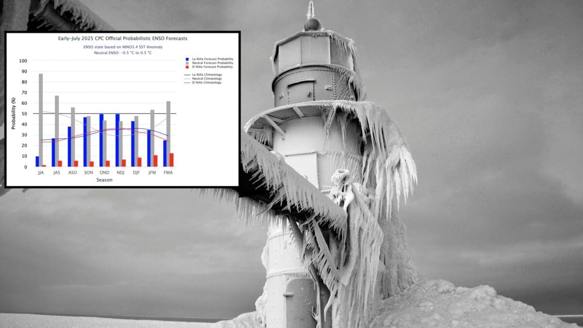
2025 Long-Term Weather Trends: Heading Toward La Niña and Cooler Signals
Sea surface temperatures show a shift from ENSO neutral to weak La Niña into fall and winter, with a warm blob in the North Pacific Oscillation (NPO) region fueling active severe weather and volatility. The Arctic Oscillation (AO) trends neutral in August but negative into September and October, allowing cooler Canadian air into the lower 48. The Eastern Pacific Oscillation (EPO) also shows a downtrend toward negative in fall.
Updated European seasonal guidance for November-January hints at high pressure building near the Aleutian Islands, potentially lifting north into Alaska. This could create a cross-polar flow from Siberia, setting up a colder pattern for late 2025 weather. A negative EPO developing would mean colder shots for the lower 48 suggesting a cooler late fall and potentially an early cold start to winter 2025/2026.

2025 Weather Key Takeaways
- Western U.S. (California, Pacific Northwest, Desert Southwest): 2025 weather could be cooler and drier in spots, but watch for heat and monsoonal rains. Weather could be great for summer hikes but be prepared for fall transitions.
- Central U.S. (Plains, Ohio Valley): Average temperatures with returning severe weather. Stay alert for storms impacting outdoor plans.
- Eastern U.S. (Southeast, Northeast): Cooler and wetter short-term with a potential for flood risks. Early fall signals could bring crisp conditions sooner.
- Winter Hints: Weak La Niña, negative AO/EPO, and cross-polar flow point to a colder, snowier setup for ski season. Eastern ski resorts might see benefits, while the West could see variability.